1st millennium BCE — 13th century
The Fergana Valley: from Dayuan to Akhsikent
Fergana was not an isolated basin but a historical region linked by rivers and passes to Sogdiana, Chach, Semirechye and Eastern Turkestan. Archaeology and written sources reveal farming settlements, cities, divided political authority and long-distance connections.
- Geography
- Upper Syr Darya valley between the Tian Shan and Alay
- Centres
- Eylatan, Mingtepa, Kuva, Akhsikent
- Evidence
- Archaeology, Chinese chronicles, Arabic-Persian geography, coins
The valley as a historical region
The Fergana Valley is enclosed by the Tian Shan and Alay but was never cut off from its neighbours. Passes led toward Kashgar, Semirechye and Sogdiana, while the Naryn and Kara Darya form the Syr Darya. Water and fertile alluvial fans supported farming; the foothills supplied pasture, ores and seasonal routes.
Modern borders divide the valley among Uzbekistan, Kyrgyzstan and Tajikistan. They are unsuitable for ancient history: settlements, craft zones and roads must be studied as one landscape. In written sources, even “Fergana” could mean a valley, a province or a political possession of changing extent.
Early farming and settlement
Archaeological cultures are reconstructed from settlements, burials, pottery, metalwork and canals. The Chust culture of the Late Bronze and Early Iron Ages shows farming, herding and craft production operating together. Eylatan and later complexes indicate the growth of fortified settlements and local centres.
An archaeological culture is a research category, not a securely known people-name. A change in pottery or burial practice may reflect exchange, fashion, limited migration or internal development; choosing among them requires several independent forms of evidence.
Dayuan in Chinese chronicles
Chinese texts of the late second century BCE describe Dayuan, usually identified with Fergana. Zhang Qian’s mission reported cities, agriculture, grapes and horses prized by the Han court. The conflict that followed concerned diplomacy, route control and access to those horses.
Dayuan is an external Chinese name, and the chronicles present an imperial court’s viewpoint. Population and army figures require criticism, while the famous “heavenly horses” must not become the region’s only identity. Archaeology reveals a much broader economy of fields, canals, crafts and settlements.
Political and cultural connections
In later centuries Fergana interacted with the Kushan world, Sogdiana and steppe confederations. During the sixth and seventh centuries it entered the political orbit of the Turkic Khaganate while retaining local rulers and a largely Eastern Iranian population; Turkic-speaking communities became increasingly prominent.
Arab conquest and Islamisation were not single events. Campaigns, agreements and rivalry among local rulers continued for decades. Under the Samanids the province became more firmly integrated into Islamic political and commercial networks, although its cities and rural districts retained local differences.
Akhsikent: capital and craft centre
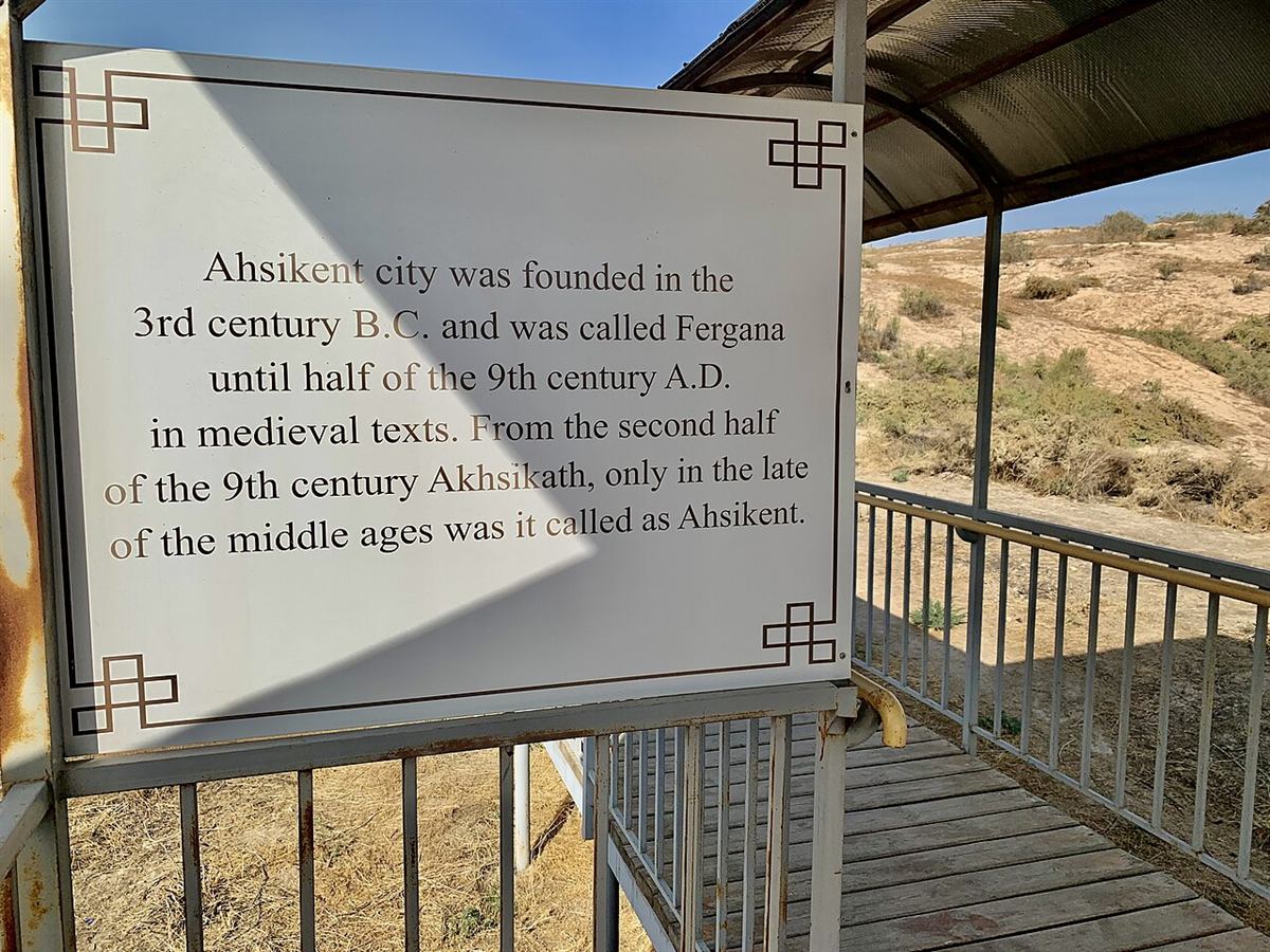
Akhsikent on the right bank of the Syr Darya was one of the valley’s principal cities and a medieval capital. Citadel, shahristan, rabad and defensive lines preserve successive phases of growth. Finds document metalworking, pottery and glass production, commerce and everyday life rarely described by chronicles.
The site also has a history of research: Mikhail Masson, Yahya Gulyamov and later Fergana expeditions worked there. That story belongs beside the ancient city because interpretations changed with excavation, dating and conservation methods.
Exchange corridors and conservation
UNESCO treats the valley’s sites as part of the Fergana–Syr Darya corridor of the Silk Roads. This was not one road but a changing network of cities, crossings, caravan sections and mountain passes. Goods, technologies, religions, artistic ideas and diplomatic missions moved through it.
Akhsikent’s earthen architecture is vulnerable to rain, wind, groundwater and unmanaged visitors. Conservation should document every intervention and preserve archaeological layers instead of recreating ruins. A tentative or serial UNESCO dossier must also be distinguished from the final World Heritage status of an individual property.
